- Courses
- GS Full Course 1 Year
- GS Full Course 2 Year
- GS Full Course 3 Year
- GS Full Course Till Selection
- Online Program
- GS Recorded Course
- NCERT (Recorded 500+ Hours)
- Polity Recorded Course
- Geography Recorded Course
- Economy Recorded Course
- AMAC Recorded Course
- Modern India, Post Independence & World History
- Environment Recoded Course
- Governance Recoded Course
- Science & Tech. Recoded Course
- International Relations and Internal Security Recorded Course
- Disaster Management Module Course
- Ethics Recoded Course
- Essay Recoded Course
- Current Affairs Recoded Course
- CSAT
- 5 LAYERED ARJUNA Mentorship
- Public Administration Optional
- ABOUT US
- OUR TOPPERS
- TEST SERIES
- FREE STUDY MATERIAL
- VIDEOS
- CONTACT US
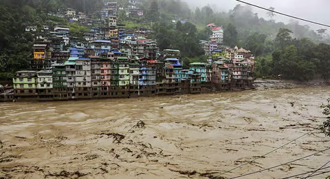
Water Levels Surge in Teesta River Even as Heavy Rainfalls Flood Parts of North Bengal
Water Levels Surge in Teesta River Even as Heavy Rainfalls Flood Parts of North Bengal
21-06-2024
Background:
- At least 6 people were killed and 1,500 tourists stranded due to heavy rains and landslides in Sikkim's northern Mangan district.
- The swelling waters of the Teesta River caused flooding in Kalimpong, leading to road closures and population displacements.
- Response efforts are underway, involving police, defense personnel, and National Disaster Response Force (NDRF) teams to handle critical situations.
- The incident highlights the necessity of preparedness and prompt response to natural catastrophes in the region.
About the Teesta River:
- The Teesta River is a tributary of the Jamuna River (Brahmaputra River), covering both India and Bangladesh.
- Source:
- The river takes its origin as Chhombo Chhu from a glacial lake called Khangchung Chho, situated at an elevation of 5,280 meters in Sikkim's northeastern corner.
- Several authors also consider the Teesta Khangse glacier and Chho Lhamo as other potential sources.
- The Teesta River stretches approximately 309 kilometers (192 miles) long, draining an area of 12,540 square kilometers.
- Course:
- The river initially flows southward, carving a deep gorge through the Siwalik Hills located east of Darjeeling (West Bengal).
- It then turns southeast, passing through the Sivok Khola pass and entering the plains of West Bengal.
- Historically, the river flowed directly southward and merged with the upper Padma River (Ganga River).
- However, around 1787, the river altered its course, now flowing eastward through Bangladesh's Rangpur region before joining the Jamuna River near Chilmari after a total course of approximately 200 miles (320 km).
- Major Tributaries of the Teesta River:
- Left-bank Tributaries: Lachung Chhu, Chakung Chhu, Dik Chhu, Rani Khola, Rangpo Chhu.
- Right-bank Tributaries: Zemu Chhu, Rangyong Chhu, Rangit River.
Must Check: Best IAS Coaching In Delhi

Yala Glacier Declared Dead – Climate Change & Himalayan Cryosphere
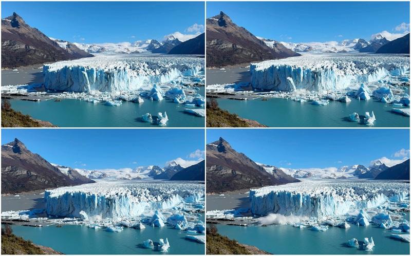
Perito Moreno Glacier Retreat – A Stable Giant Now in Decline
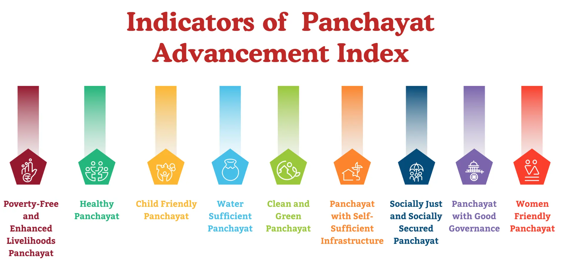
Panchayat Advancement Index (PAI) : Using Local Data for Better Governance
Karol Bagh Metro Pillar No. 112, Above Domino's, 22B, First Floor, New Delhi - 110060
Very Important Instruction For Any Issue, Student Must Produce His/Her Fee Receipt. Without Fee Receipt, It Will Not Be Possible To Track Your Details. If You Have Been Given Any Special Consideration, You Must Keep That In Writing And Produce In Case Of Conflict.
Copyright © 2024-2026 ENSURE IAS. All rights reserved.