- Courses
- GS Full Course 1 Year
- GS Full Course 2 Year
- GS Full Course 3 Year
- GS Full Course Till Selection
- MEP (Mains Enrichment Programme) Data, Facts
- Essay Target – 150+ Marks
- Online Program
- GS Recorded Course
- NCERT- First Ladder
- Polity
- Geography
- Economy
- Ancient, Medieval and Art & Culture AMAC
- Modern India, Post Independence & World History
- Environment
- Governance
- Science & Technology
- International Relations and Internal Security
- Disaster Management
- Ethics
- Current Affairs
- Indian Society and Social Issue
- CSAT
- 5 LAYERED ARJUNA Mentorship
- Public Administration Optional
- ABOUT US
- OUR TOPPERS
- TEST SERIES
- FREE STUDY MATERIAL
- VIDEOS
- CONTACT US
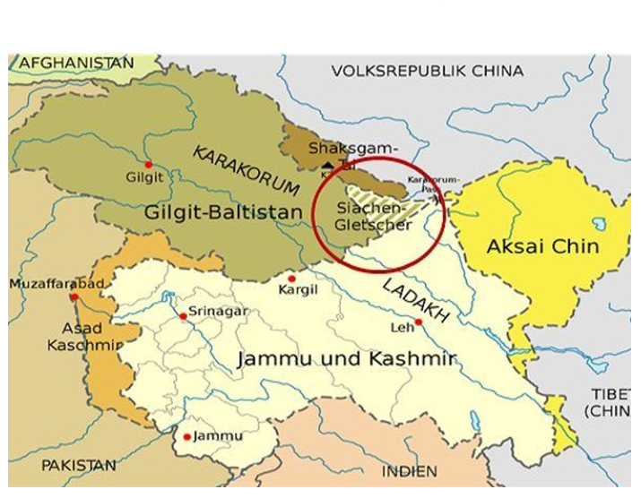
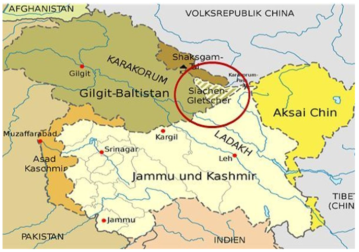
SIACHEN GLACIER
SIACHEN GLACIER
Latest Context
The recognised border between India and Pakistan is NJ 9842, but few people are aware of 5Q 131 05 084, the number given to the Siachen Glacier by the Geological Survey of India (GSI), which has been a point of dispute between the two nations since 1984.
The Line of Control of the Simla Agreement terminates at Point NJ 9842, which serves as the last mutually agreed-upon demarcation point between India and Pakistan under the Karachi ceasefire agreement of 1949.
First GSI Survey of Siachen Glacier
-
GSI Survey:
- In June 1958, Assistant Geologist V. K. Raina with the GSI made the first survey of the Siachen Glacier. As a part of the International Geophysical Year activities, the survey aims to study the Himalayan glacier systems.
- The GSI group conducted several studies and set up survey points while camped out at the glacier's base for about three months.
-
Significance for India:
- The survey is important for India since it represents the nation's first official exploration of the Siachen Glacier, a region that would later cause tension between India and Pakistan.
- When India began Operation Meghdoot in 1984 to establish its presence in the area, the tranquil surroundings surveyed in 1958 were transformed into a war zone.
- The GSI study disproves any claims that Pakistan has controlled the glacier from the beginning by providing historical proof of India's early understanding of it and scientific involvement with it.
-
Pakistan’s Claims:
- Pakistan initially made no concerns or complaints about the Indian presence on the glacier during the GSI survey in 1958. The Karachi ceasefire agreement, which established the ceasefire lineup to the glaciers and required mutual delineation, might be credited with this as both nations abided by its provisions.
- However, Pakistan's disinterest in regional scientific expeditions and visits might have also been a factor.
- Only 25 years later, in August 1983, Pakistan challenged the status quo by unilaterally extending the Line of Control (LOC) from NJ 9842 to the Karakoram Pass.
- Due to India's worries about these actions, Indian soldiers occupied the important Saltoro Heights first in April 1984.
- Since then, Pakistan's claims and actions have been based on varying interpretations of prior accords including the Simla Agreement and the Karachi Ceasefire Agreement.
What is Siachen Glacier?
- Near Point NJ9842, where the LOC between India and Pakistan ends, in the Himalayas' Eastern Karakoram range is where you'll find the Siachen Glacier.
- India has been in charge of the Siachen Glacier's whole, including all significant routes, since 1984 (Operation Meghdoot).
- The direction of the Siachen Glacier is from northwest to southeast. It begins at an elevation of 6,115 metres at the base of the Indira Col West, a col (low point) on the Indira Ridge, and it descends to an elevation of 3,570 metres.
- After the Fedchenko Glacier in Tajikistan, it is the second-longest glacier in non-polar regions of the globe.
- The Siachen Glacier is located in the heavily glaciated region of the Karakoram, frequently referred to as the "Third Pole," directly south of the large drainage divide that divides the Eurasian Plate from the Indian subcontinent.
- Siachen Glacier is the source of the Nubra River.
- The Siachen Glacier is the highest battleground on the whole planet.
Must Check: IAS Coaching Centre In Delhi
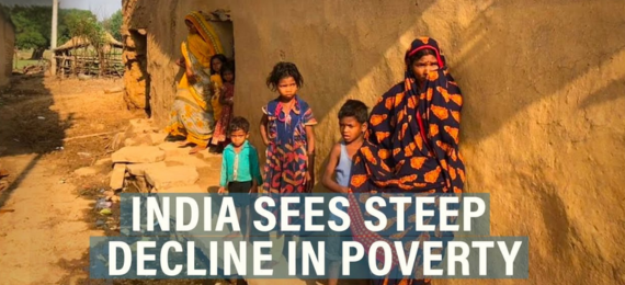
India’s Poverty Story: What Recent Surveys Tell Us
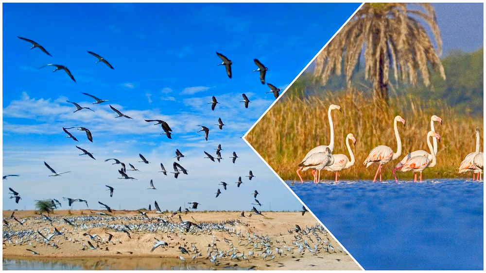
2 New Ramsar sites: Menar (Udaipur) And Khichan (Phalodi)

EnviStats India 2025
Karol Bagh Metro Pillar No. 112, Above Domino's, 22B, First Floor, New Delhi - 110060
Very Important Instruction For Any Issue, Student Must Produce His/Her Fee Receipt. Without Fee Receipt, It Will Not Be Possible To Track Your Details. If You Have Been Given Any Special Consideration, You Must Keep That In Writing And Produce In Case Of Conflict.
Copyright © 2024-2026 ENSURE IAS. All rights reserved.