- Courses
- GS Full Course 1 Year
- GS Full Course 2 Year
- GS Full Course 3 Year
- GS Full Course Till Selection
- MEP (Mains Enrichment Programme) Data, Facts
- Essay Target – 150+ Marks
- Online Program
- GS Recorded Course
- NCERT- First Ladder
- Polity
- Geography
- Economy
- Ancient, Medieval and Art & Culture AMAC
- Modern India, Post Independence & World History
- Environment
- Governance
- Science & Technology
- International Relations and Internal Security
- Disaster Management
- Ethics
- Current Affairs
- Indian Society and Social Issue
- CSAT
- 5 LAYERED ARJUNA Mentorship
- Public Administration Optional
- ABOUT US
- OUR TOPPERS
- TEST SERIES
- FREE STUDY MATERIAL
- VIDEOS
- CONTACT US
Kumaon Himalayas
Kumaon Himalayas
29-05-2024

Geographical Location and Boundaries:
- The Kumaon Himalayas includes the west-central section of the Himalayas in northern India.
- Geographically, it extends between the Sutlej River in the west and the Kali River in the east.
- The region comprises a portion of the Siwalik Range in the south and part of the Great Himalayas in the north, primarily located within the state of Uttarakhand, northwest of Nepal.
Notable Features:
- The highest peaks in the Kumaon Himalayas include Nanda Devi and Kamet, both revered for their beauty and challenging climbing routes.
- The region is home to several lakes, such as Naini Lake, Sattal, Bhimtal, and Naukuchiya Tal, known for their tranquil waters and breathtaking surroundings.
- The Kumaon Himalayas are a melting pot of tribal and indigenous communities, including the Tharus, Bhutiyas, Jaunsaris, Buksas, and Rajiswhose, each with distinct cultural traditions and practices.
- The region is renowned for its hill stations like Nainital, Ranikhet, and Almora, which offer scenic vistas, colonial architecture, and a rich cultural experience.
Ecological and Seismic Concerns:
- The Kumaon Himalayas are recognized as an ecologically fragile and seismic-prone area, making it crucial to prioritize sustainable development and disaster preparedness measures.
Shiwalik Range:
- The Shivalik Hills, a sub-Himalayan mountain range, stretch approximately 1,600 km from the Teesta River in Sikkim, through Nepal and India, into northern Pakistan.
- The range runs parallel to the Himalayan system, extending from Haridwar on the Ganges to the banks of the Beas River, with an average height of 900 to 1,200 meters.
- The Shivalik Hills are primarily composed of low sandstone and conglomerate hills, formed by the solidified and uplifted detritus of the great Himalayan range.
Must Check: UPSC Coaching Institute In Delhi

Myth of China’s Control Over the Brahmaputra

UK-EU Reset: A Strategic Opening for India
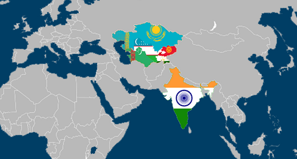
India-Central Asia Connectivity and Trade
Karol Bagh Metro Pillar No. 112, Above Domino's, 22B, First Floor, New Delhi - 110060
Very Important Instruction For Any Issue, Student Must Produce His/Her Fee Receipt. Without Fee Receipt, It Will Not Be Possible To Track Your Details. If You Have Been Given Any Special Consideration, You Must Keep That In Writing And Produce In Case Of Conflict.
Copyright © 2024-2026 ENSURE IAS. All rights reserved.