- Courses
- GS Full Course 1 Year
- GS Full Course 2 Year
- GS Full Course 3 Year
- GS Full Course Till Selection
- Answer Alpha: Mains 2025 Mentorship
- MEP (Mains Enrichment Programme) Data, Facts
- Essay Target – 150+ Marks
- Online Program
- GS Recorded Course
- Polity
- Geography
- Economy
- Ancient, Medieval and Art & Culture AMAC
- Modern India, Post Independence & World History
- Environment
- Governance
- Science & Technology
- International Relations and Internal Security
- Disaster Management
- Ethics
- NCERT Current Affairs
- Indian Society and Social Issue
- NCERT- Science and Technology
- NCERT - Geography
- NCERT - Ancient History
- NCERT- World History
- NCERT Modern History
- CSAT
- 5 LAYERED ARJUNA Mentorship
- Public Administration Optional
- ABOUT US
- OUR TOPPERS
- TEST SERIES
- FREE STUDY MATERIAL
- VIDEOS
- CONTACT US
SC’s INTERIM ORDER ON FOREST CONSERVATION ACT 2023
SC’s INTERIM ORDER ON FOREST CONSERVATION ACT 2023
The Supreme Court (SC) has recently instructed the government to keep using a wide definition of “forest” from a 1996 T.N. Godavarman Thirumulpad judgement until S.C makes a final decision on a challenge to the new Forest Conservation Act of 2023.
About the Forest Conservation Act, 1980:
- This Act was created to make forest laws better, control the cutting down of forests, manage the movement of forest goods, and collect taxes on wood and other forest items.
- Before using forest land for other purposes, you need to get permission from the Central Government.
- It applies to lands considered forests under the 1927 Forest Act or state records from 1980 onwards.
Supreme Court’s View: In T.N. Godavarman Thirumulpad judgement 1996 SC focused on protecting all forests, regardless of their legal status or owner, and introduced the idea of “deemed forests” for areas that look like forests but aren’t labelled officially.
Problem with deemed forest
- Indian states define “forests” in various ways, causing inconsistency in what counts as a deemed forest.
- E.g. Chhattisgarh and Madhya Pradesh, for instance, define a forest as a tract that spans a minimum of 10 hectares, is covered with naturally growing timber, fuel wood and yielding trees and, has a density of 200 trees or more per hectare, whereas Goa defines a forest as a patch of land having at least 75% covered with forest species.
- Some States have no parameters at all. Because of varying definitions of deemed forest, estimates of their territorial spread in India range from 1% - 28% of India’s official forest area of 80 million ha.
The 2023 Forest (Conservation) Amendment Act aimed to clarify these definitions and exempt certain lands from the Act, but the Supreme Court’s order keeps older definitions in place for now.
Key Points of the Forest (Conservation) Amendment Act, 2023:
- The Act now specifies 2 kinds of land it covers, those officially declared as forests after 1980, and lands changed from forest to non-forest before 1996.
- The changes allow for up to 0.10 hectare of forest land next to roads or railways to be used without protection if it’s for accessing a place where people live.
- Additionally, forest areas within 100 kilometres of international borders or the Line of Control/Line of Actual Control can be cleared for significant national security projects without following the Act’s rules.
- Up to 10 hectares can be used for security infrastructure or 5 hectares in areas with ‘left wing extremism’ issues, without the usual forest protections.
- The Act supports conservation and certain developments like zoos or eco-tourism, requiring central government approval for assigning forest land.
- Prior approval from the central government for the assignment of forest land to any entity, furthermore, it grants the central government the authority to make the terms and conditions governing such assignments.
India State of Forest Report (ISFR) 2021
- Biennial report by Forest Survey of India (FSI) under Ministry of Environment, Forests, and Climate Change.
- 17th edition (first published in 1987).
- Covers forest area, tree density, species composition, and changes over time.
- Includes data on mangrove and bamboo cover, growing stock, and carbon stock.
Forest Cover Highlights
- As per the ISFR-2021, forest and tree cover in the country increased by 2,261 square kilometres since the last assessment in 2019.
- India’s total forest and tree cover was 80.9 million hectares, which accounted for 24.62% of the geographical area of the country.
- The report said 17 States and Union Territories had more than 33% of their area under forest cover.
|
Top 5 States with the most forest cover in the nation in terms of area |
Top 5 states in terms of forest cover as a proportion of total land area are |
|
1. Madhya Pradesh |
1. Mizoram (84.53%) |
|
2. Arunachal Pradesh |
2. Arunachal Pradesh (79.33%) |
|
3. Chhattisgarh |
3. Meghalaya (76%) |
|
4. Odisha |
4. Manipur (74.34%) |
|
5. Maharashtra |
5. Nagaland (73.90%) |
|
Note: - 1) The word "forest area" refers to the land's legal status on the basis of official records. 2) The term "forest cover" denotes the presence of trees on any given piece of land. |
|
Mangrove and Bamboo Cover
- Mangroves increased by 17 sq km; total cover: 4,992 sq km.
- Bamboo area increased by 39,454 million culms; total area: 53,336 million culms (stems)
Forest and Tree Growth
- Overall forest cover increased by 1,540 sq km.
- India's forest cover now 21.71% of geographical area.
- Telangana, Andhra Pradesh, Odisha show largest increases.
- Decrease observed in Northeastern states.
Forest Fire and Climate Concerns
- 35.46% forest cover susceptible to fires; 45–64% impacted by climate change by 2030.
- Carbon stock in forests increased by 79.4 million tonnes.
- Forest cover assessed in tiger reserves and corridors for first time.
Concerns and Initiatives
- Drop in natural forests; increase in open and scrub areas.
- The Northeast region shows significant forest cover loss.
- Increase in forest fires; encroachment and illegal activities persist.
- Government initiatives: National Mission for a Green India, Afforestation Programs, CAMPA, Desertification Combat Program, Green India Mission, Joint Forest Management.
Must Check: Best IAS Coaching In Delhi
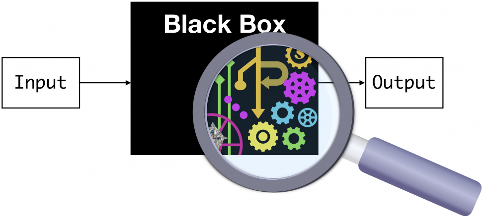
Understanding Black Boxes
FOXP4 Gene and Long COVID
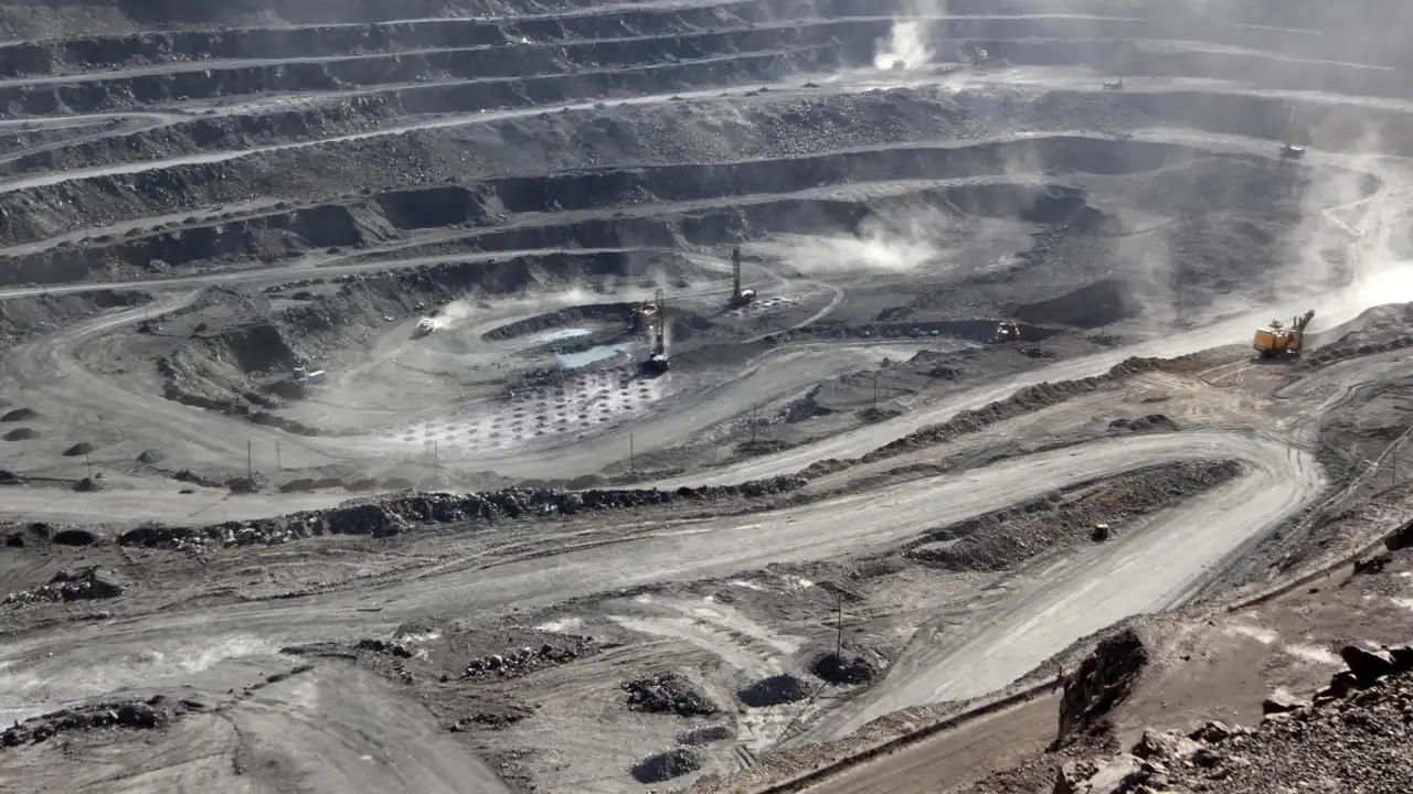
India Stops Rare Earth Exports to Focus on Its Own Needs
Karol Bagh Metro Pillar No. 112, Above Domino's, 22B, First Floor, New Delhi - 110060
Very Important Instruction For Any Issue, Student Must Produce His/Her Fee Receipt. Without Fee Receipt, It Will Not Be Possible To Track Your Details. If You Have Been Given Any Special Consideration, You Must Keep That In Writing And Produce In Case Of Conflict.
Copyright © 2024-2026 ENSURE IAS. All rights reserved.