- Courses
- GS Full Course 1 Year
- GS Full Course 2 Year
- GS Full Course 3 Year
- GS Full Course Till Selection
- Answer Alpha: Mains 2025 Mentorship
- MEP (Mains Enrichment Programme) Data, Facts
- Essay Target – 150+ Marks
- Online Program
- GS Recorded Course
- Polity
- Geography
- Economy
- Ancient, Medieval and Art & Culture AMAC
- Modern India, Post Independence & World History
- Environment
- Governance
- Science & Technology
- International Relations and Internal Security
- Disaster Management
- Ethics
- NCERT Current Affairs
- Indian Society and Social Issue
- NCERT- Science and Technology
- NCERT - Geography
- NCERT - Ancient History
- NCERT- World History
- NCERT Modern History
- CSAT
- 5 LAYERED ARJUNA Mentorship
- Public Administration Optional
- ABOUT US
- OUR TOPPERS
- TEST SERIES
- FREE STUDY MATERIAL
- VIDEOS
- CONTACT US
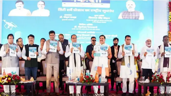
NAKSHA Scheme
NAKSHA Scheme
- In February 2025, the Union Ministry of Rural Development has launched a new initiative named NAKSHA (National Geospatial Knowledge-based Survey of Urban Habitations) to bring a modern technological push to urban land record management.
- The initiative is a major step forward under the broader umbrella of the Digital India Land Records Modernisation Programme (DILRMP).
|
Digital India Land Records Modernisation Programme (DILRMP)
|
What is the NAKSHA Scheme?
NAKSHA is a geospatial technology-driven urban land survey initiative, specifically designed to create, update, and digitize land ownership records in urban areas.
The scheme aims to enhance transparency, accuracy, and efficiency in property documentation and urban planning.
- Nodal Ministry: Ministry of Rural Development
- Implementing Agencies:
- Department of Land Resources (DoLR)
- Survey of India
- National Informatics Centre Services Inc. (NICSI)
Objectives of the NAKSHA Scheme
- Modernization of Urban Land Records: To ensure precise and regularly updated digital ownership records in urban areas.
- Enhanced Urban Planning: To facilitate better planning for smart city development and infrastructure expansion.
- Dispute Reduction: To reduce land-related disputes through clear, reliable, and verifiable property documentation.
- Transparency and Accessibility: To develop a Web-GIS-based IT system that enables easy access to digital land records.
- Sustainable Urban Governance: To support efficient land resource management and improved urban administration.
Key Features of the NAKSHA Scheme
- Pilot Launch Scope:
- The scheme has been launched as a pilot project in 152 Urban Local Bodies (ULBs) across 26 States and 3 Union Territories (UTs).
- The selected towns meet the following criteria:
- Area: Less than 35 sq km
- Population: Less than 2 lakhs
- Area Coverage:
- As per Census 2011, India has 7,933 towns, occupying about 1.02 lakh square km, which is a part of India’s total geographical area of 32.87 lakh square km.
- Under the NAKSHA pilot, an area of 4,142.63 square km will be surveyed.
- Project Duration: The pilot phase is expected to be completed within one year.
- Estimated Project Cost: ₹194 crore, fully funded by the Government of India (100% central assistance).
- Use of Drone-based Surveys: The scheme deploys high-precision drone technology for aerial surveys, ensuring detailed and accurate spatial mapping.
- Web-GIS Platform: An end-to-end digital land record management system, hosted on a Web-GIS platform, will be developed.
- Citizen-Centric Approach: Public access to digital records will improve ease of living and empower citizens with transparent land ownership data.
|
Also Read |
|
| NCERT Books For UPSC | |
| UPSC Monthly Magazine | Best IAS Coaching in Delhi |

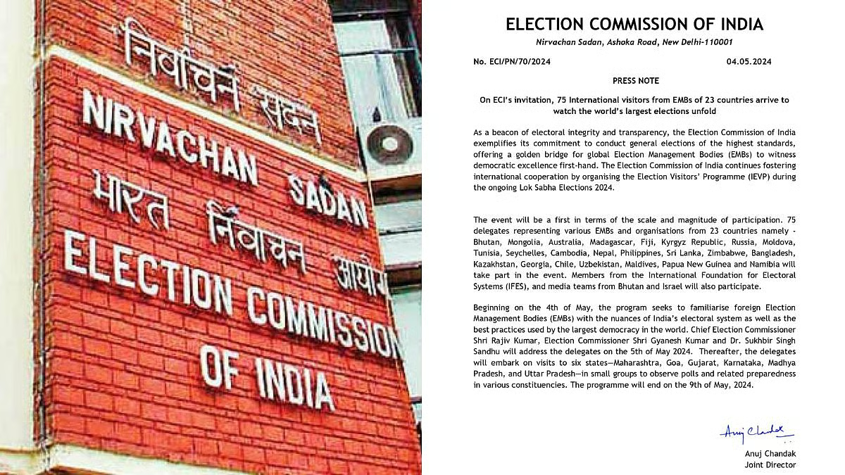
Democracy Demands Clarity: Onus on the Election Commission
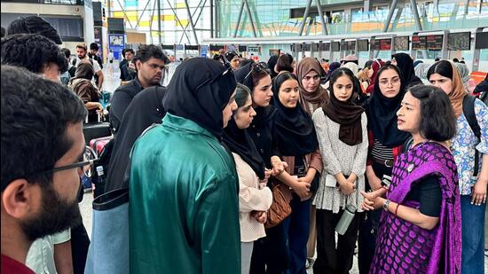
Operation Sindhu: India Begins Evacuation from Conflict-Hit Iran
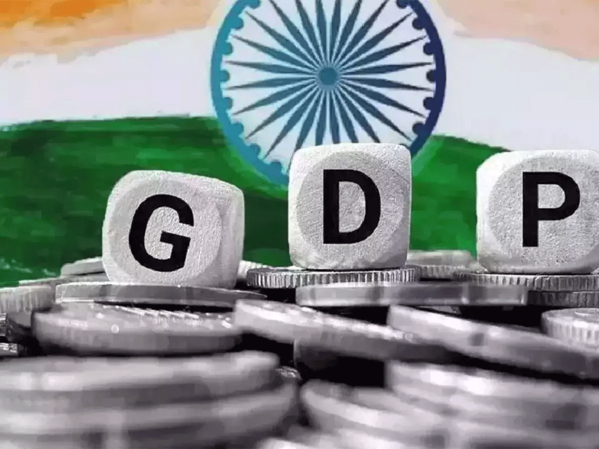
Revising GDP Base Year
Karol Bagh Metro Pillar No. 112, Above Domino's, 22B, First Floor, New Delhi - 110060
Very Important Instruction For Any Issue, Student Must Produce His/Her Fee Receipt. Without Fee Receipt, It Will Not Be Possible To Track Your Details. If You Have Been Given Any Special Consideration, You Must Keep That In Writing And Produce In Case Of Conflict.
Copyright © 2024-2026 ENSURE IAS. All rights reserved.